Surveying can be a crucial first step in defining and beginning your next project. As a multi-disciplined firm, we are able to provide survey services through licensed professional land surveyors in Florida, Illinois, Iowa, Wisconsin, Indiana, Minnesota, Missouri, and Texas.
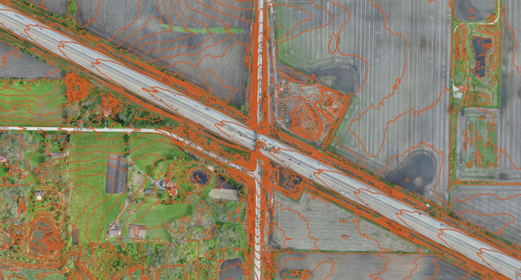
As a complement to our land development, transportation, water, and municipal teams, we have over 60 years of survey records. Our history as surveyors is a testament to the service we have provided our clients, and staying on the leading edge of our clients’ needs to provide the most relevant service is important to us. As such, we have invested in sUAS (drone) technology and have FAA licensed operators to provide survey-grade imagery and elevation data that can benefit your agency. Additionally, we provide 3D Laser scanning services, making hard-to-reach structures or dangerous areas accessible.
Our data collection is compatible with MicroStation, AutoCAD, and ESRI ARC GIS, and we are Iowa and Illinois Department of Transportation prequalified to provide Land and Route survey services.
ALTA/NSPS Land Title surveys
ROW/Route surveys
Plat of Highways
Utility mapping
Topographic mapping
Boundary surveys
Easements
Hydrographic/Bathymetric surveys
Creek and floodplain surveys
Plats of subdivision, Certified Survey Maps
Municipal surveying such as annexation plats, TIF exhibits, legal descriptions, plat review, and dedications
Land surveying, GIS mapping, data collection, or field observations are often the crucial first step to any project. HR Green’s geospatial professionals have a keen eye for detail and keep your project goals front of mind while adapting as required by site conditions.