Malibu Wireless Communications Facility (WCF) Mapping
- Local Governments
Market
- Broadband
- Public
Services
- Malibu, California
Locations
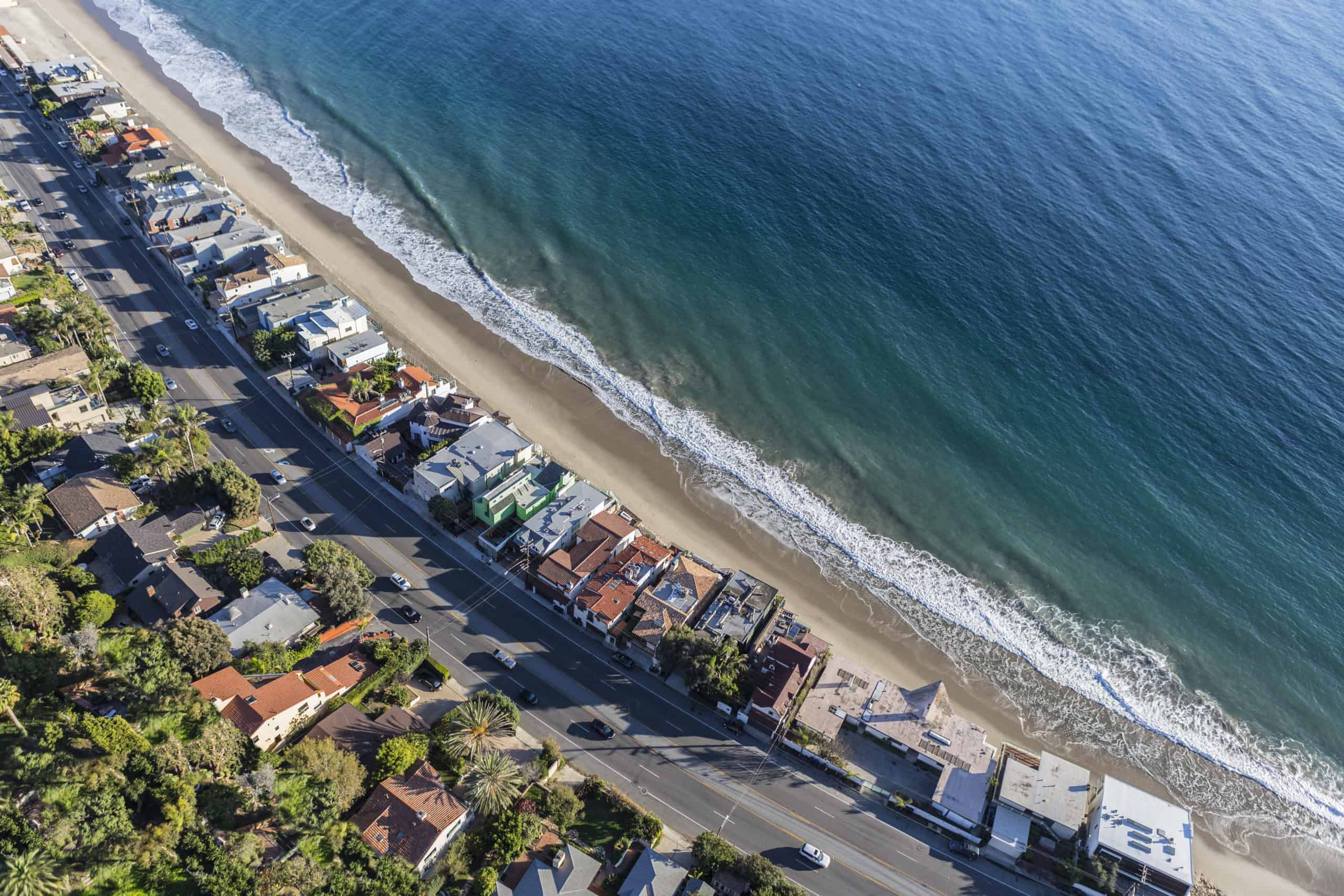
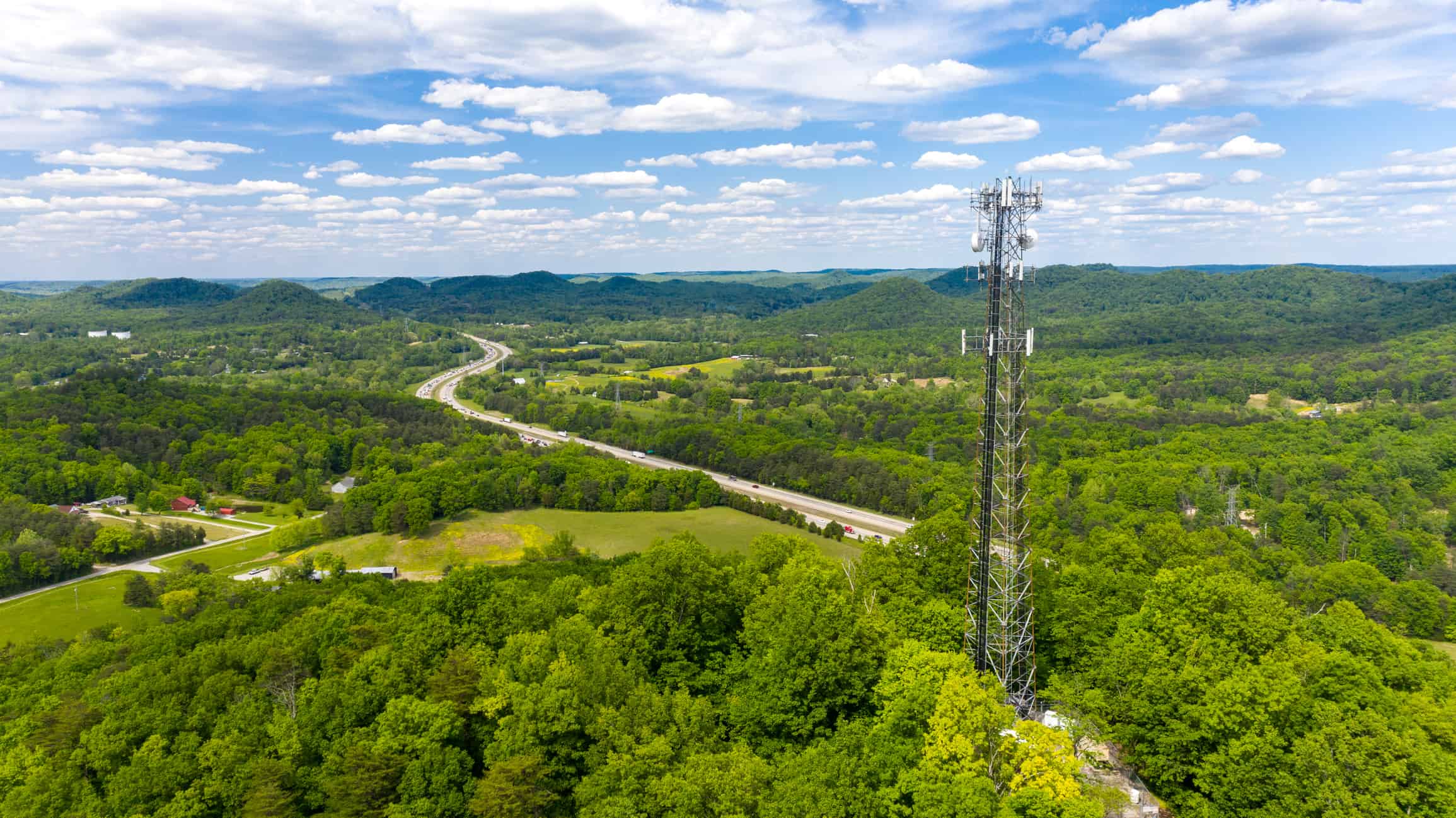
Incorporated in 1991, Malibu, California, has a population of approximately 13,000 spread along 21 miles of scenic coastline. Scattered along the roadways and some buildings are hundreds of wireless communication facilities (WCF), many of which are not associated with documented approvals. The evolution to 5G technology will increase the number of wireless communications facilities within the City. Prior to the expected influx of 5G applications, the City wished to have a comprehensive database documenting the existing installations.
HR Green conducted a survey to generate a Citywide GIS map of all existing Malibu WCF locations, which included a review of the 350 case files and field data collection of all existing locations. The GIS dataset contains 49 fields for each record, including application information, noticing, and critical dates. Field information includes fields covering dimensions, height, camouflage, latitude, longitude, and photographs. While in the field, HR Green has continually searched for undocumented installations and collected available data for further investigation.
The project required the creation of a GIS database mapping all known locations of Malibu WCF installations with a field of 49 related fields. Each of the nearly 350 case files was reviewed for data collection and inclusion in the database. Each of the locations was observed in the field to assess the status, verify data, refine the location, and photograph antennas and equipment. A review of online data and field observations focused on looking for any existing undocumented facilities to be added to the database.
The project database enhances the City’s ongoing maintenance program and provides a detailed GIS-based asset inventory of their wireless telecommunications facilities citywide.


