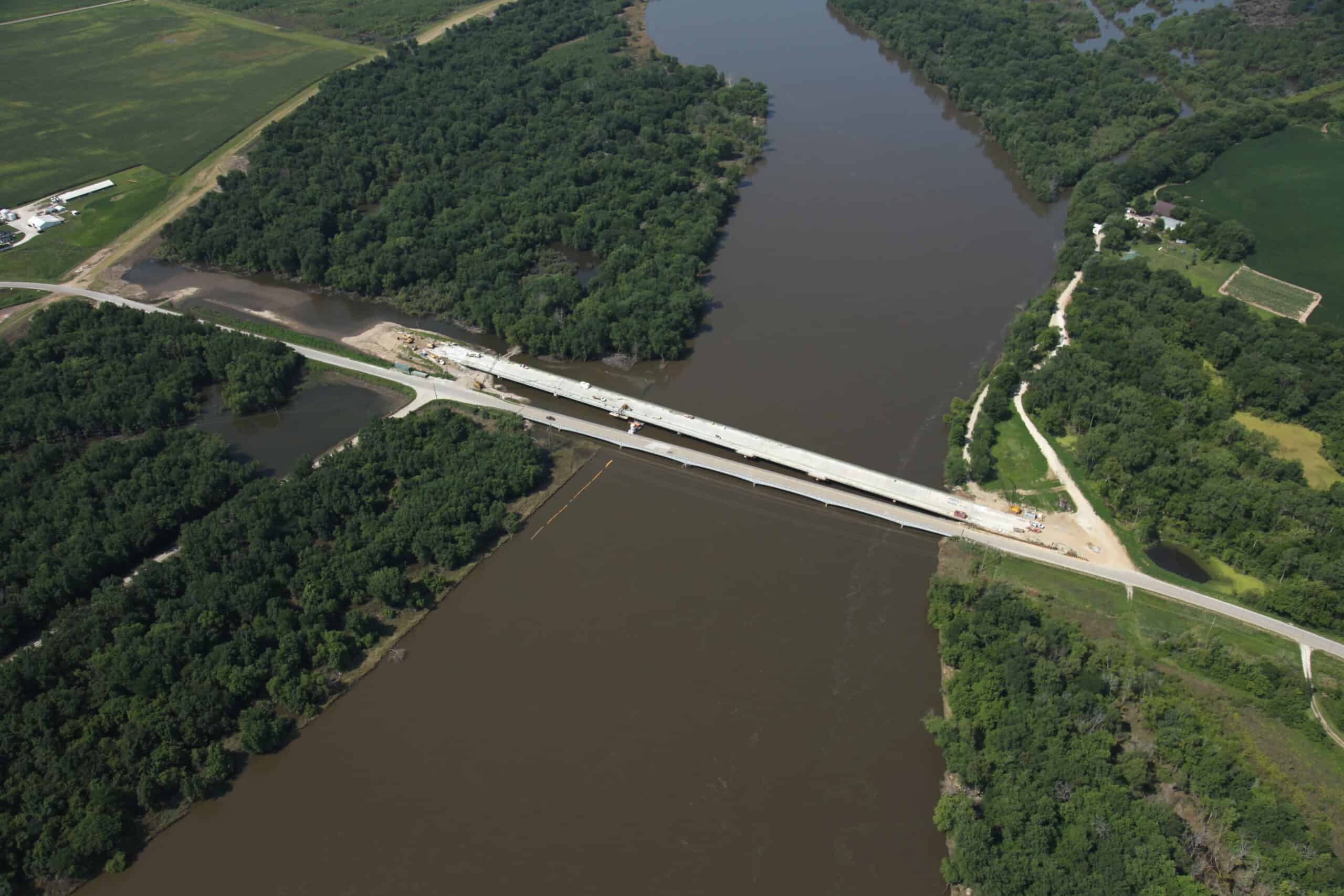

Following the Iowa River flooding in 2008, Louisa County applied for Economic Development funding for a new crossing over the Iowa River on County Road X99; Oakville Bridge. The crossing is an important crossing for area residents and the farming community. The river is also paralleled by a levee system that protects adjacent farmland for flood frequencies up to the 100-year event.
The 100-year flood discharge is estimated to be 124,000 cubic feet per second. In addition to evaluating a proposed bridge length, the roadway and bridge profile were raised to conform to the levee profile, and revisions were made to the approach roadway and a nearby roadway intersection.
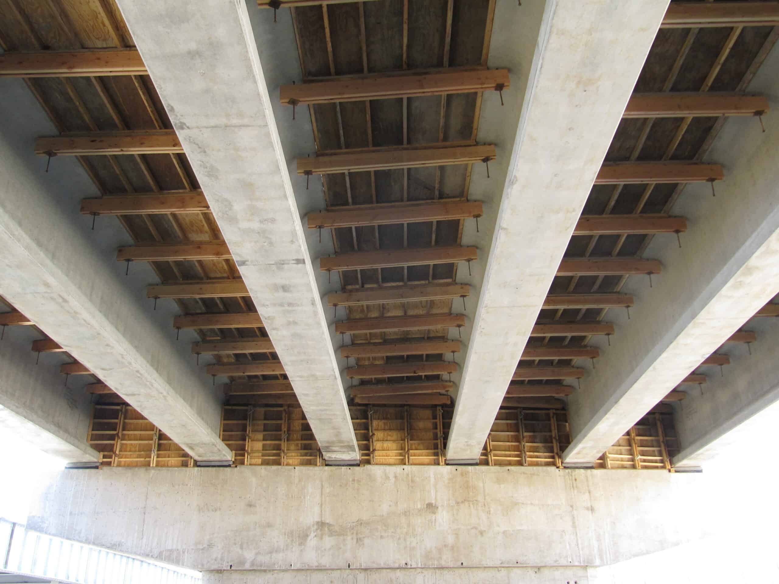
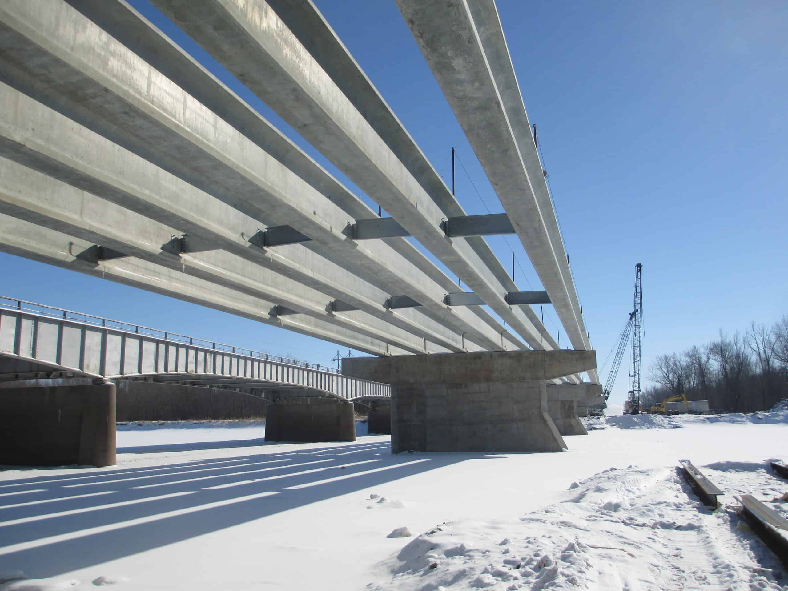
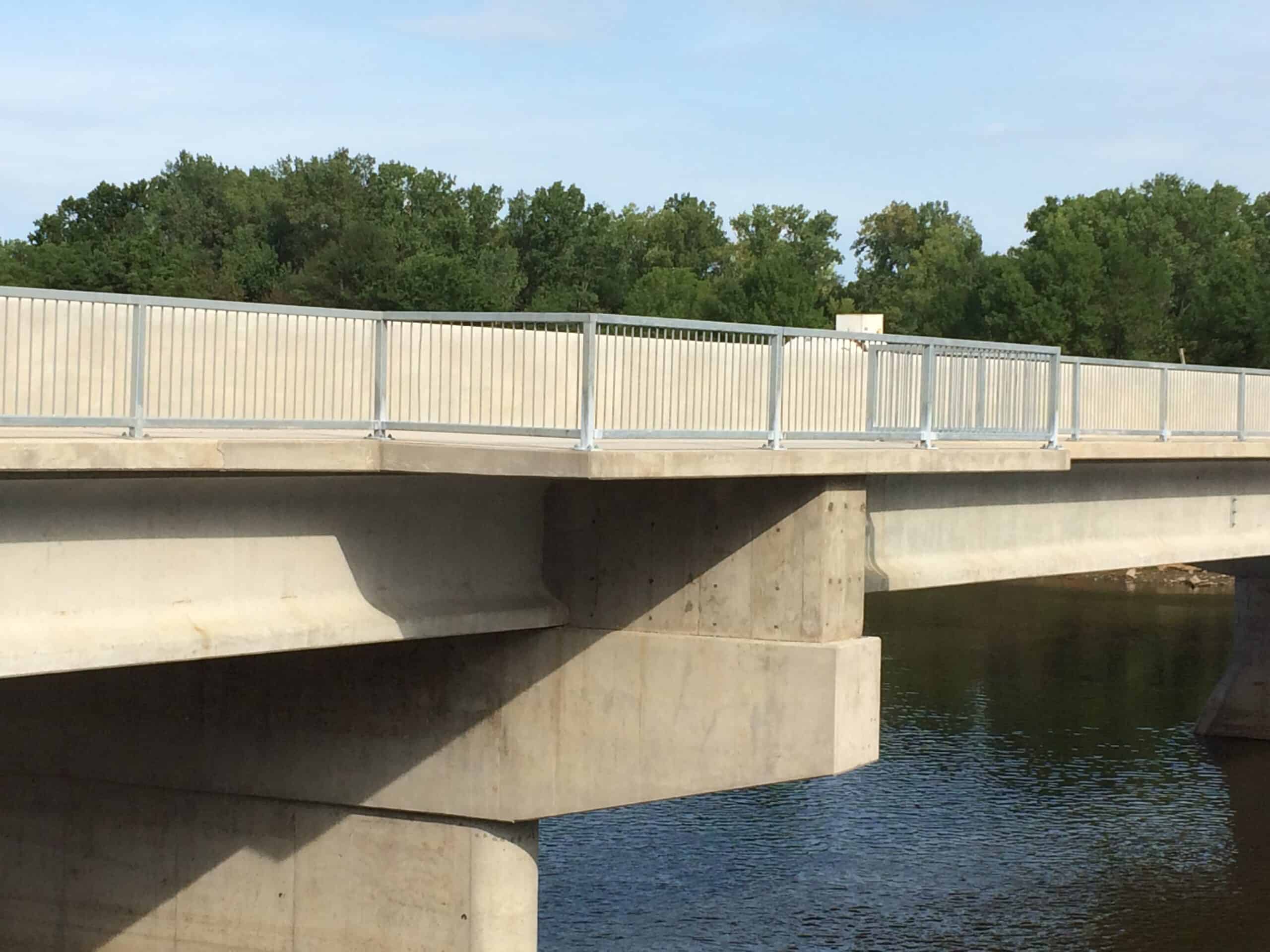
The existing water surface profile model was a HEC-2 Water Surface Profile Model developed by the Rock Island District, U.S. Army Corps of Engineers. The results of the modeling were also used by FEMA for the Louisa County Flood Insurance Study. The bridge is a pre-tensioned, prestressed concrete beam bridge with a total length of 1159 feet, and has 8 spans. The Oakville Bridge project included preliminary and final design services, environmental reviews, wetland delineations and habitat studies, and regulatory permit clearances.