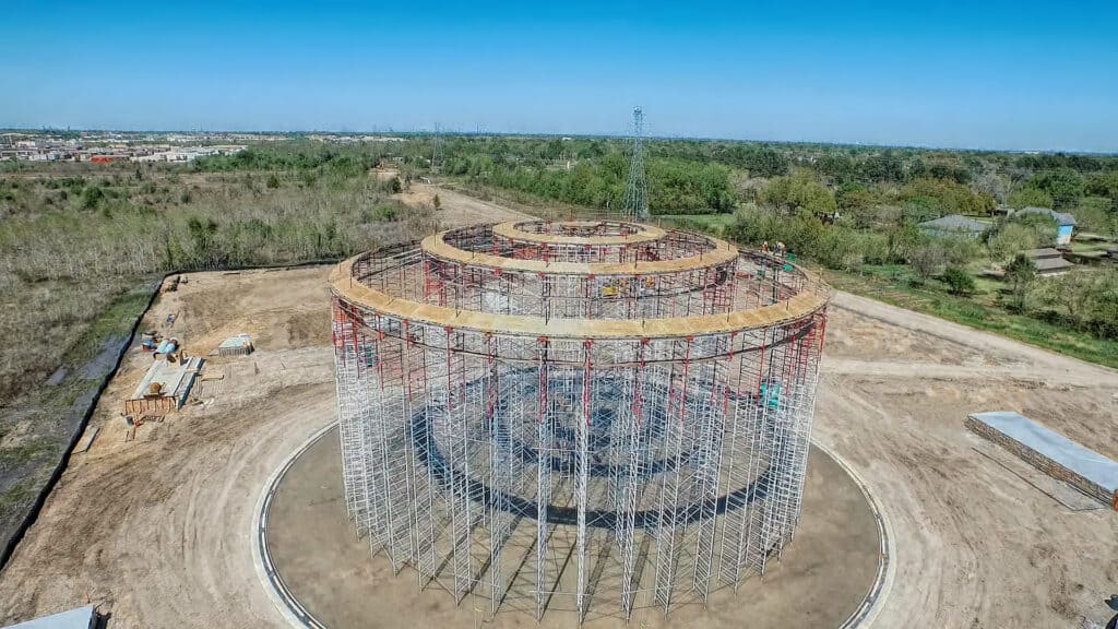
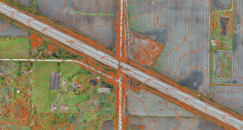
Land surveying, GIS mapping, data collection, or field observations are often the crucial first step to any project. HR Green’s geospatial professionals have a keen eye for detail and keep your project goals front of mind while adapting as required by site conditions.

With every project, our goal is to focus on your project needs, while providing accurate and detailed data. Whether its road alignment staking, topographic survey work, asset inventory, right-of-way and boundary surveying, site documentation, Unmanned Aerial Systems (UAS), or 3D laser scanning, our technology and service are aligned to your project needs.

We coordinate with project teams and assist design professionals in providing the right data. With ongoing training, certifications, and years of experience, we strive to deliver high-quality services and often serve as an extension of your staff. From simple to complex, we pride ourselves in delivering critical information in a format that serves the end user.

Featured Projects

Featured Team

Milan Dobrosavljevic

PLS

Survey Group Leader | Midwest Geospatial

Mike Liska

GISP

GIS Practice Advisor | FAA Remote Pilot

Mike Fischer

PLS

Operations Manager | Geospatial

What we offer

We become a trusted advisor with clients from project inception to final completion, always seeking the most economical solutions and streamlined processes.

Featured Insights

Asset Management

Blog

Top Technologies Communities Can Leverage to Improve Citizen Communications

sUAS Technology - Water Storage Tank

Blog

sUAS (Drone) Technology – How Can Your Community Benefit?

Car exiting a parkway.

Blog

Achieve Results on Complex Transportation Projects

Brochure

Geospatial

Land surveying, GIS mapping, data collection, or field observations are often the crucial first step to any project. HR Green’s geospatial professionals have a keen eye for detail and keep your project goals front of mind while adapting as required by site conditions.