4 Common Construction Efficiency Failures and How to Avoid Them
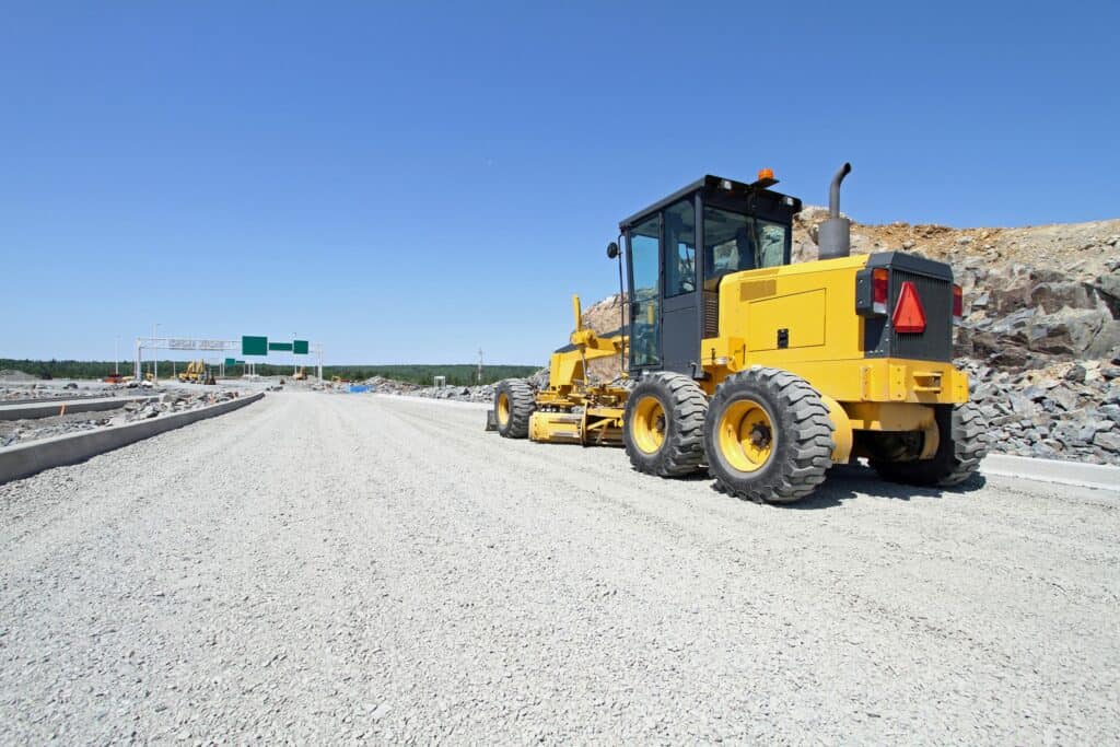
After months or even years of careful design work, the construction phase of an infrastructure project can feel like one long struggle to mitigate potential schedule delays. With construction being the most visible phase of an infrastructure project, any delays in the schedule can place tremendous stress on those officials responsible for delivering the project.
Redefining “Complete Streets”
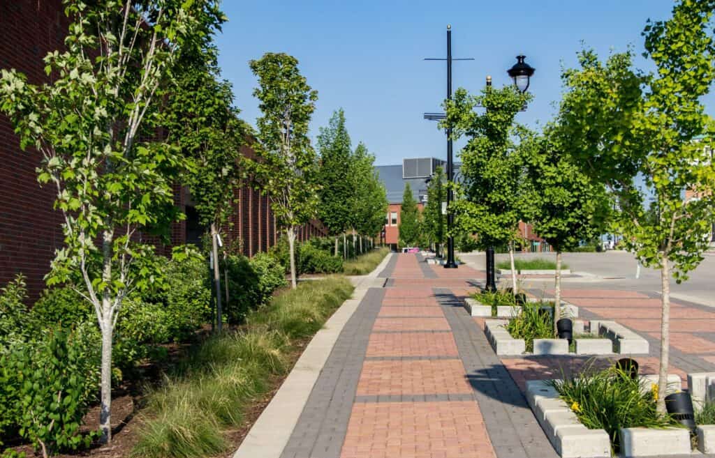
Current trends in transportation and community planning are expanding the discussion beyond safety and level of service into areas such as equity and environmental justice, climate change, and maximizing the street’s footprint for non-transportation functions. Here are three key considerations that are leading to an evolving definition of Complete Streets.
The Race to Broadband Infrastructure: America’s Next Challenge

It is estimated that as many as 42 million Americans lack high-speed internet service. While millions more have it, because of heavy usage or poor network design, it is far from “high speed.” One major impact of the pandemic is that it has shown there is a clear need for strong and resilient infrastructure.
Solving Repetitive Flooding in a Historic, Re-Developing Area Next Door to Downtown Houston
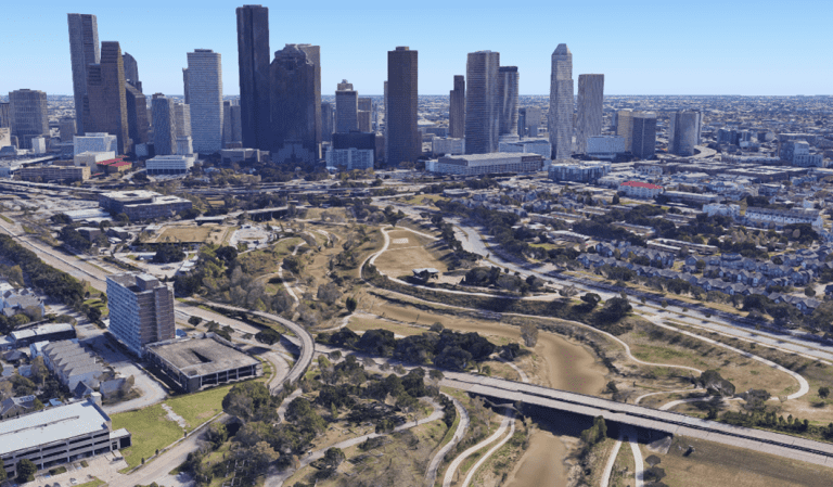
The Build Houston Forward Initiative (formerly ReBuild Houston) is the City of Houston’s voter approved pay-as-you-go plan to rebuild drainage and street infrastructure. Its goal is to improve the quality of life and mobility for residents through the reconstruction and proper maintenance of drainage and street improvements. From daily repairs like fixing potholes, to major […]
6 Ways COVID-19 Has Changed Engineering

Large public and private construction projects have been deeply affected by the pandemic but getting back to “normal” might look a little different. Going forward there are shifts in behavior that have led to changes in land entitlements, planning, and engineering. Here are six ways planners and engineers will have to think differently as the world gets back to normal.
Choosing the Right Water Storage for Your Community is an Important Decision
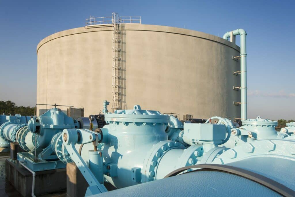
Nearly every community has one, emblazoned with the town’s name and towering above the community. A water tower often becomes a symbol of a municipality but for those who supervise and secure important infrastructure, the water tower is an important piece of equipment providing clean water to hundreds of thousands of residents.
COVID Relief Details: Four Steps You Can Take to Prepare

No doubt you have been following the movement in Washington related to the latest COVID-19 relief, known as the American Rescue Plan Act of 2021. The current draft has local governments receiving $130 billion, equally divided between municipalities and counties. This equates to $65 billion for municipalities allocated to all 19,000 cities, towns, and villages in the nation.
FCC Small Cell Order Updates
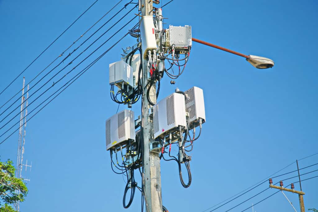
Federal Court upheld nearly all of the 2018 FCC Small Cell order that pre-empted local control over deployment of small cells in the public rights-of-way.
Broadband Master Planning: A Holistic Approach to Meeting Broadband Goals

Solutions to having good, ubiquitous broadband are very different for each community. Some communities do not have enough broadband providers; others have plenty of providers but pockets of areas that are underserved; still others have so many providers that they are concerned about running out of rights of way, particularly as fiber for 5G and small cells densifies.
How You Can Benefit From An Owner’s Representative
A construction project, regardless of size and scope, can be a daunting undertaking. Concept to completion can take months – even years – and comes with unknowns and risks. An owner’s representative presents many advantages – the most evident would be the time and experience as well as their knowledge of the construction process.