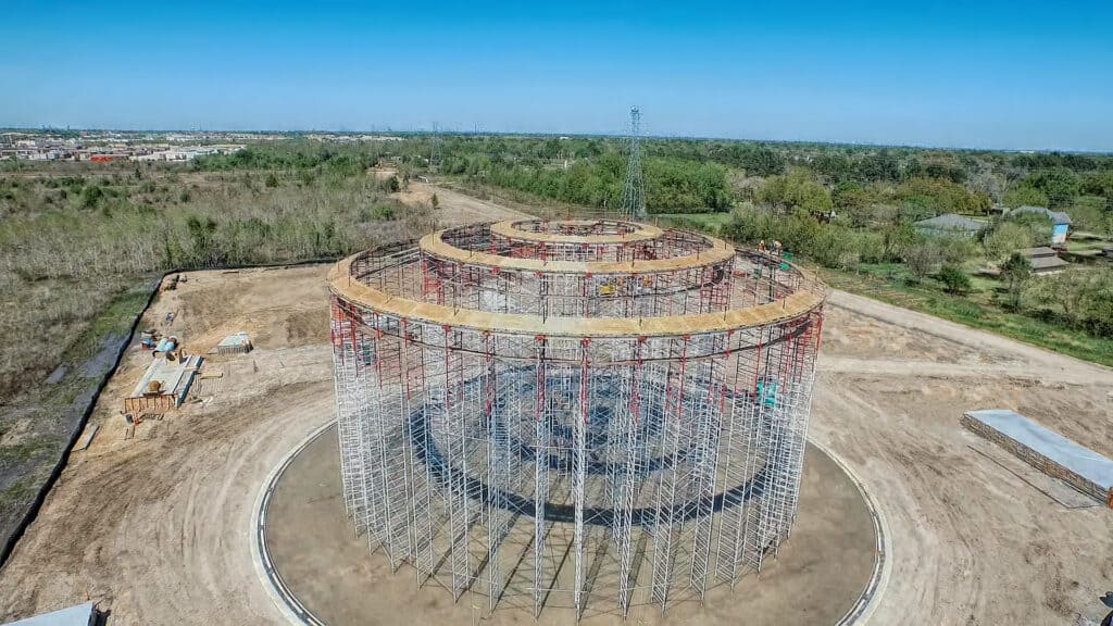
Drones have been filling our news feeds with uses such as recreational, military, and drone deliveries, but how can a local governmental agency determine how to leverage this rapidly evolving technology? Our Geospatial team now utilizes this technology to benefit our clients by providing more than just aerial photography.
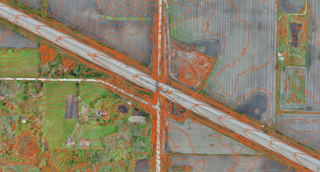
These drones, called Small Unmanned Aerial System (sUAS) by the FAA, can take high-quality imagery that can assist with corridor design and construction, pavement evaluations, mapping, and detailed before-and-after site photos. Our sUAS is equipped with a camera that uses multispectral sensors that acquire data used for computing various indices create maps for assessing plant health, estimating biomass, and more.
Our FAA licensed remote pilots are highly trained to abide by FAA regulations as well as monitor safety, trespassing, and privacy issues. In addition, our high-end equipment and cameras can provide imagery and elevation data.
Land surveying, GIS mapping, data collection, or field observations are often the crucial first step to any project. HR Green’s geospatial professionals have a keen eye for detail and keep your project goals front of mind while adapting as required by site conditions.