
Challenge
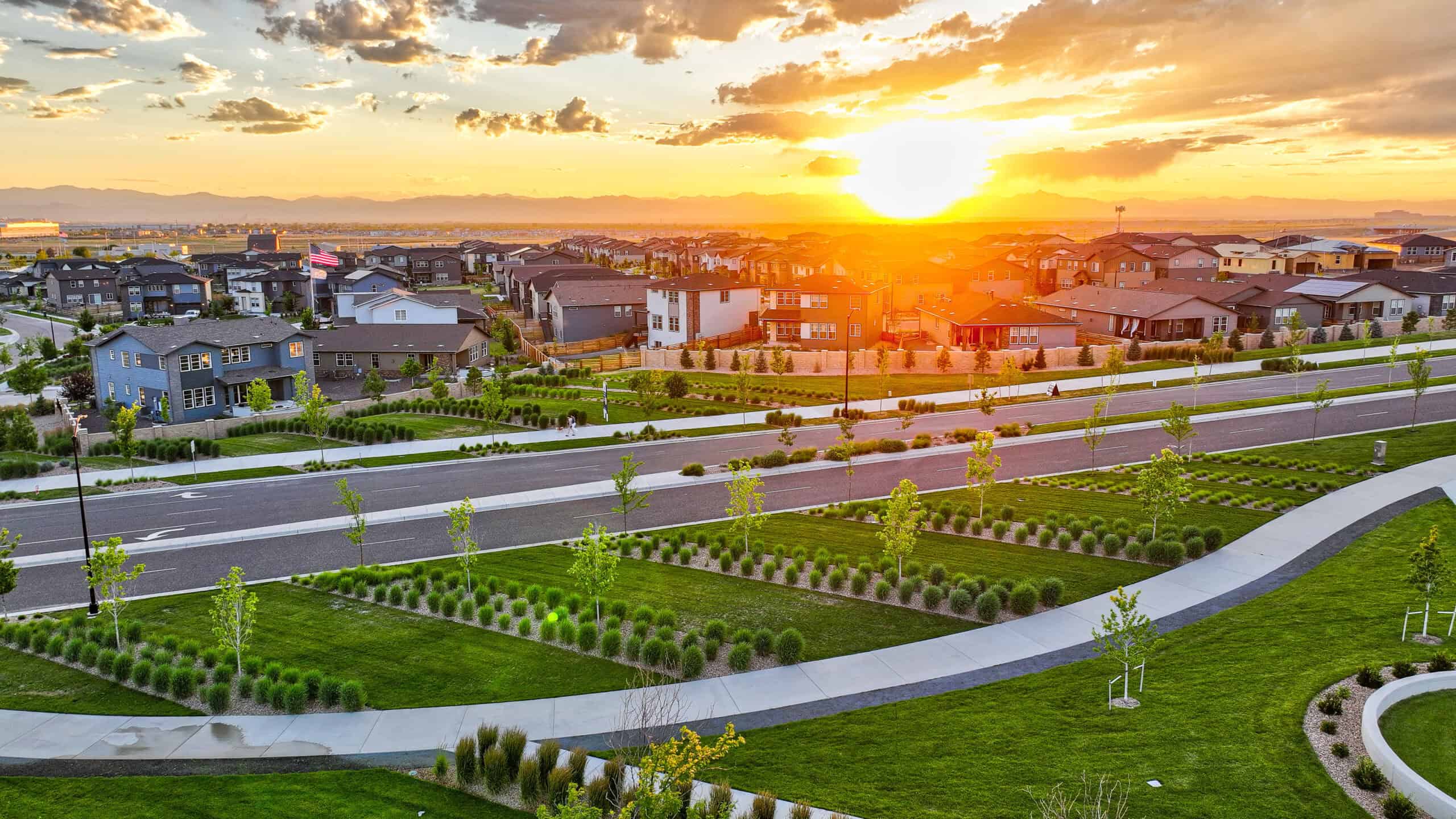
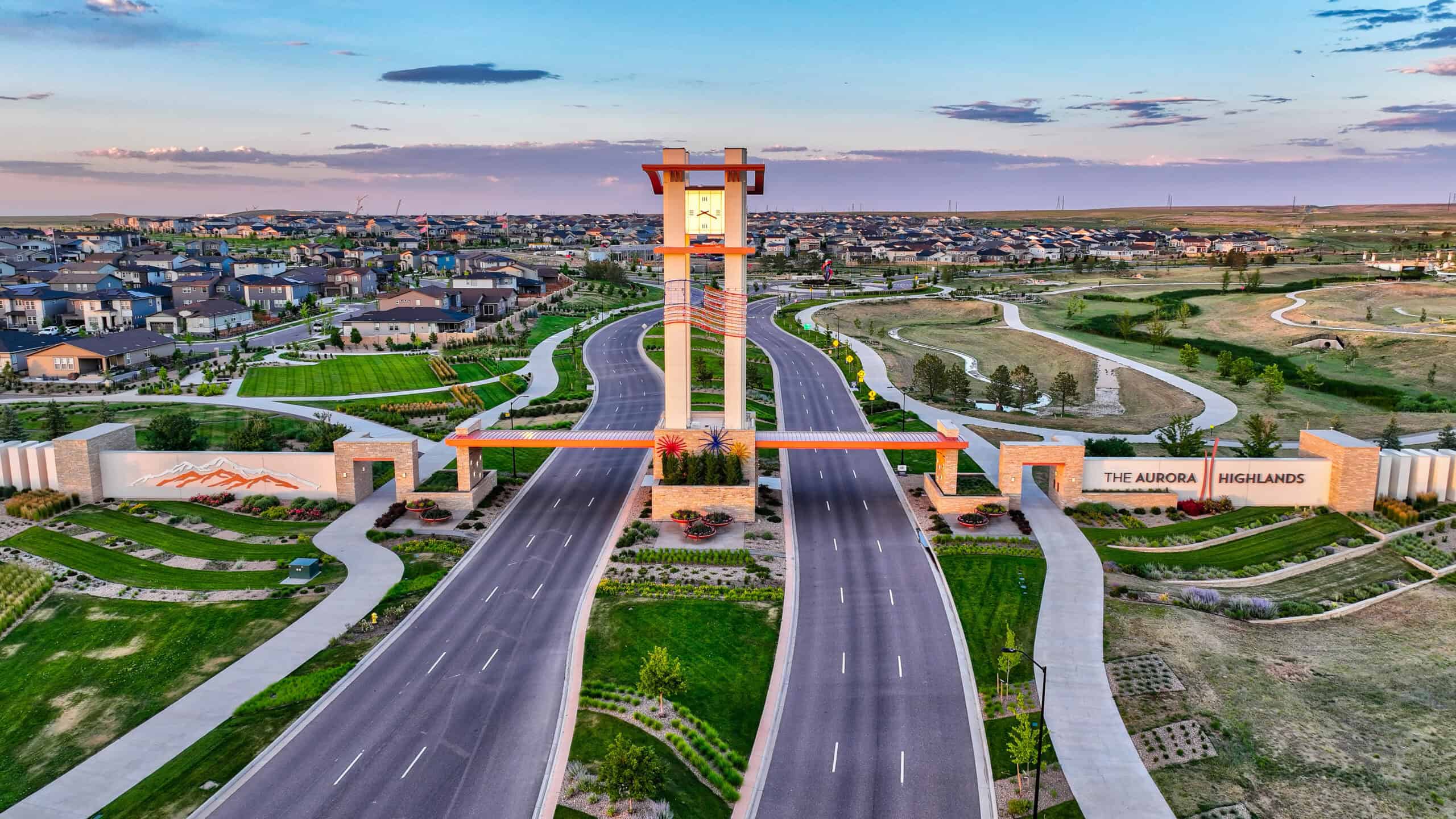
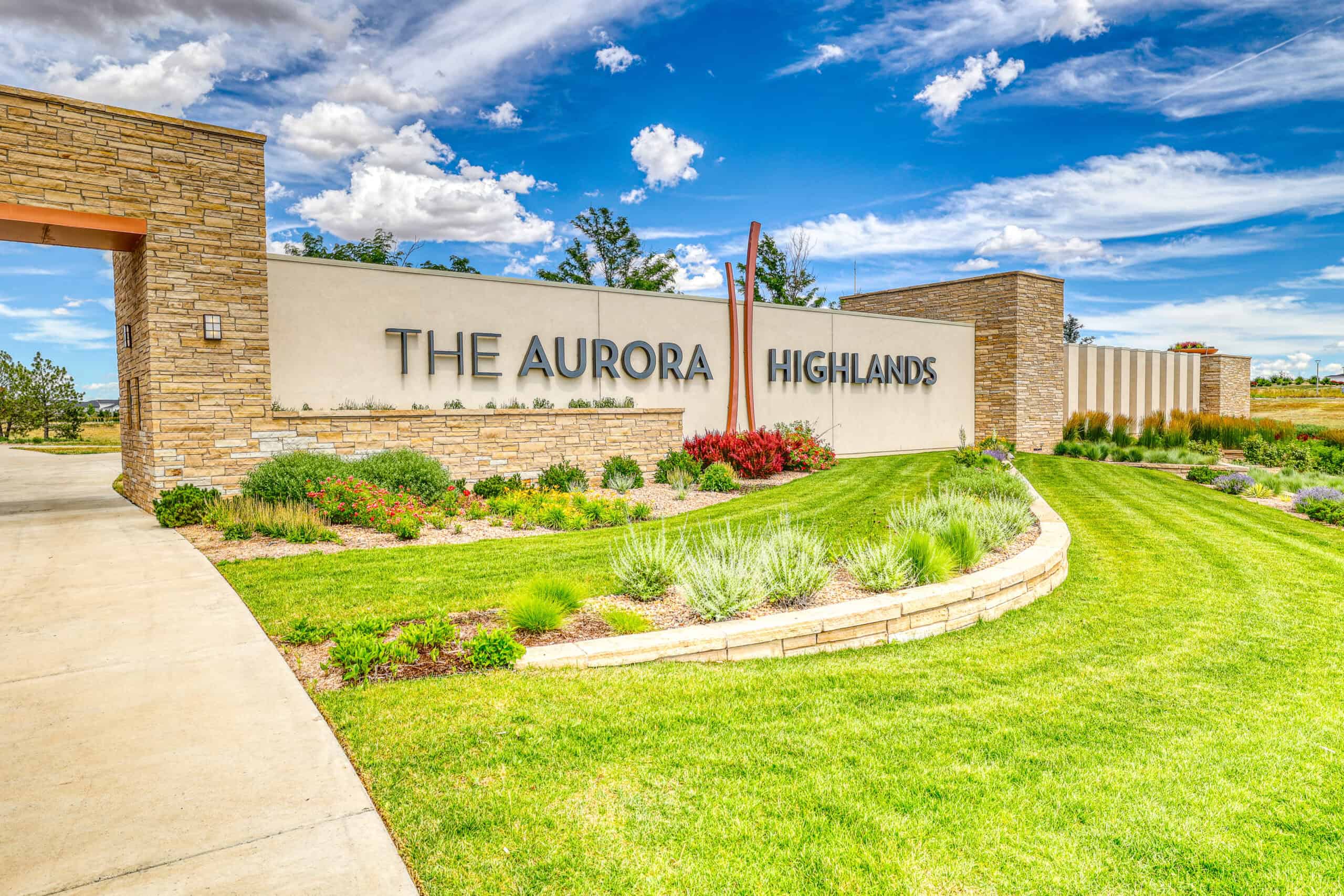
The City of Aurora and Aurora Highlands LLC set out to transform 2,900 acres of vacant land into one of the Front Range’s largest mixed-use communities, ultimately growing to roughly 5,000 acres within the 21,000-acre Aerotropolis district south of Denver International Airport. The vision called for up to 23,000 homes, 80 million square feet of commercial, office, and retail space, medical and corporate campuses, and a full spectrum of parks and mobility connections.
To make that vision real, the client needed early, coordinated regional access; clear, phased entitlements; and fast-moving, shovel-ready infrastructure that could keep pace with market demand and a rapidly expanding builder roster.
Core hurdles included multi-jurisdictional approvals, complex drainage tied to the Mile High Flood District (MHFD) network and Tributary T, major arterial and interchange builds near E-470 and I-70, and the up-front utilities and broadband backbone to support a truly “smart” community.
Solution
Working with Aurora, Adams County, and the Aerotropolis Regional Transportation Authority (ARTA), the HR Green team sequenced entitlement, design, and construction so regional mobility and first-neighborhood livability advanced together.
- Through ARTA’s capital program, the project advanced the 38th Avenue and E-470 interchange concept, I-70 interface planning, and a connected street grid including Main Street, Aura Boulevard, 42nd Avenue, and a north–south collector. Phased packages delivered predictable access for builders while keeping future full buildout in view. Multilane roundabouts, targeted turn lanes, traffic-signal controlled intersections, and temporary road access points helped with traffic flow and safety.
- The team created master drainage, utility and infrastructure frameworks; prepared preliminary and final drainage reports aligned with City of Aurora and MHFD criteria; and produced Stormwater Management Plans for permit coverage on each construction package. The team coordinated closely with the First Creek Tributary T channel, including culvert upgrades, HEC-RAS revisions, FEMA documentation, and multiple pond certifications. A sanitary sewer outfall crossing and trunk extensions were sequenced to open fronts of development without rework.
- An Infrastructure Site Plan integrated grading, utility, and roadway sheets across task orders. Construction documents were structured for efficient bidding and field use, paired with shop-drawing reviews and RFI support.
- Beyond physical infrastructure, the program planned fiber and conduit pathing, evaluated smart-community alternatives, and advanced provider selection and policy.
Benefits
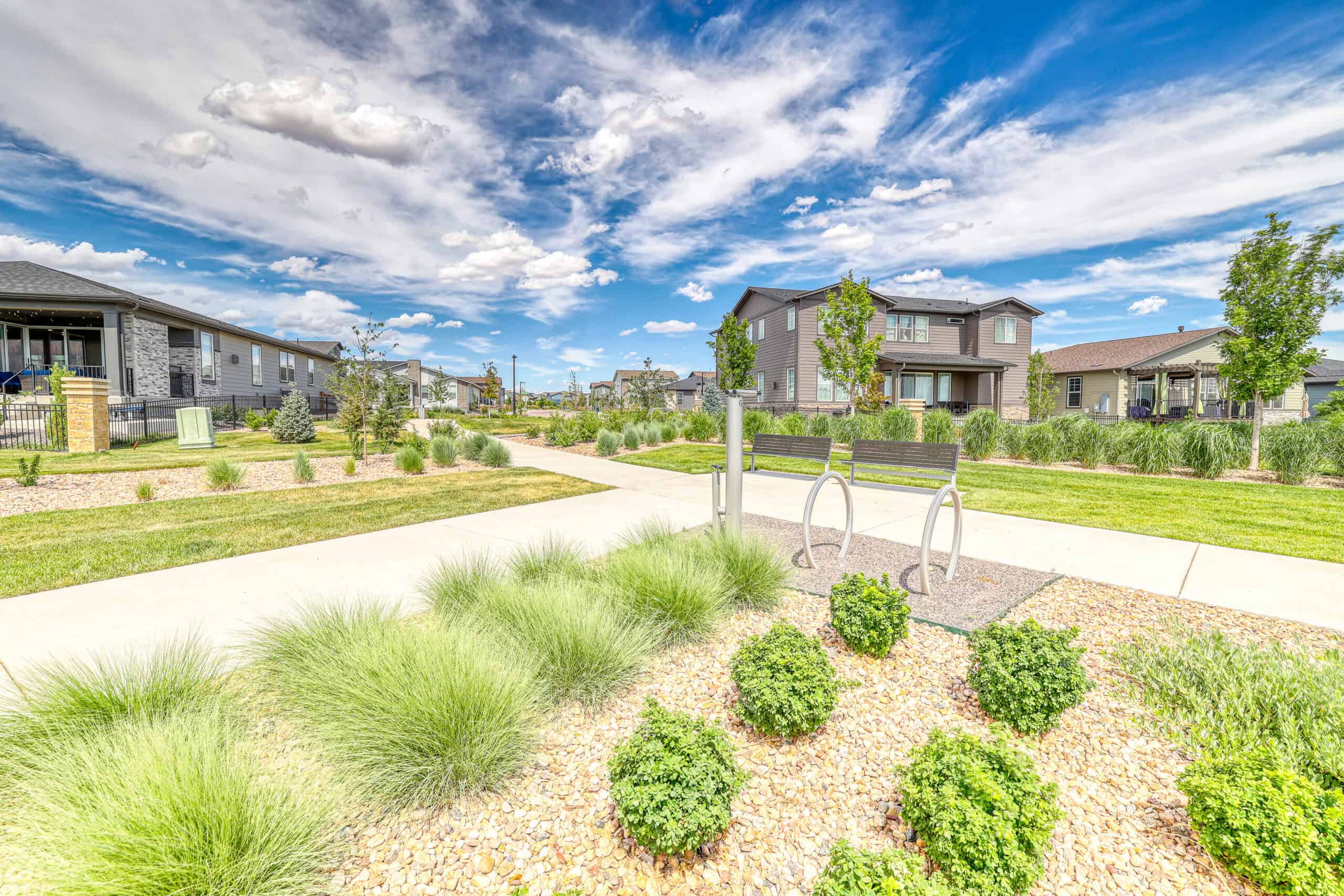
For the client and the community, this approach turned a big idea into a buildable pipeline. Sidewalks, trails, public art installations, roundabouts, and connected streets were planned alongside Highlands Creek Park, pocket parks, and a future recreation center, supporting the “city-within-a-city” experience from the first closings. Proximity to DIA, E-470, and I-70 is matched by neighborhood-scale safety and access.
Coordinated water, sanitary, and storm systems, plus a planned fiber backbone and smart-city policies set the stage for medical and corporate campuses, industrial employment centers, and a walkable Main Street. Lighting, underpass treatments, and streetscape standards give the district a cohesive identity as it expands.
By aligning regional transportation, resilient drainage, and scalable utilities, The Aurora Highlands moved from concept to construction with momentum, turning a vast greenfield into a connected community that grows smarter and stronger with each phase.