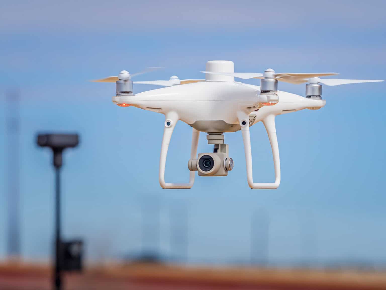
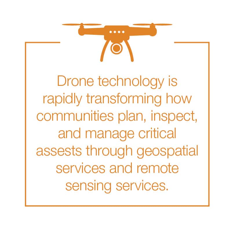
Municipal leaders face constant pressure to do more with limited resources—whether it’s maintaining infrastructure, protecting the environment, or keeping projects on schedule and within budget. One powerful tool that can help is sUAS (drone) technology, which is rapidly transforming how communities plan, inspect, and manage critical assets through geospatial services and remote sensing services.
By partnering with experienced engineering professionals who integrate FAA drone technology into their workflows, municipalities can save time, reduce costs, improve safety, and make smarter decisions for the public good.
Smarter Environmental Monitoring With Drone Technology
Drones equipped with infrared and multispectral sensors make it easier to monitor wetlands, waterways, and natural resources without putting staff in difficult or unsafe conditions. Municipalities can use drone mapping and imagery to:
- Track erosion, flooding, or post-disaster damage
- Evaluate vegetation and wetland health for compliance or restoration
- Supplement Phase I Environmental Site Assessments (ESAs) in hard-to-reach locations
These environmental GIS analysis capabilities allow cities to protect resources more efficiently while maintaining compliance with state and federal regulations.
Safer, More Cost-Effective Drone Inspections for Municipalities
Routine inspections are critical but often dangerous or disruptive, especially when dealing with bridges, water towers, dams, and rooftops. Drones minimize these risks by capturing high-resolution and thermal imagery without sending staff into hazardous conditions.
For municipalities, this means:
- Reduced liability and safer operations during inspections
- Better documentation for asset condition assessments and maintenance planning
- Clear visual records for public communication and funding applications
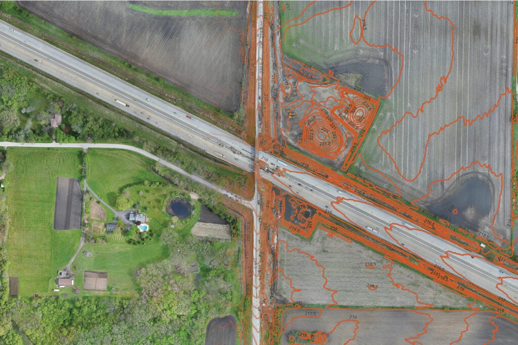
Faster, More Accurate Surveying and Mapping with Drones
Traditional surveying in difficult terrain can be costly and time intensive. Drones equipped with LiDAR and photogrammetry tools can produce highly accurate 2D maps and 3D terrain models, often within a fraction of the time.
Applications for cities include:
- Planning roadway and utility projects with greater accuracy
- Tracking construction progress against design plans or BIM models
- Measuring earthwork and stockpile volumes to verify contractor payments
With aerial surveying services and topographic surveying, the results are fewer delays, more precise data, and better project accountability.
Enhancing Community Planning and Asset Management
Drone data can be integrated directly into municipal GIS and asset management systems, helping communities maintain a clear picture of their infrastructure. For example, thermal scans can locate sanitary sewer manholes in wooded areas, while aerial imagery can document pavement conditions or utility corridors for long-term planning.
The result is more informed decision-making for capital improvement plans and budget prioritization, powered by asset management with drones.
Key Considerations for Municipal Leaders
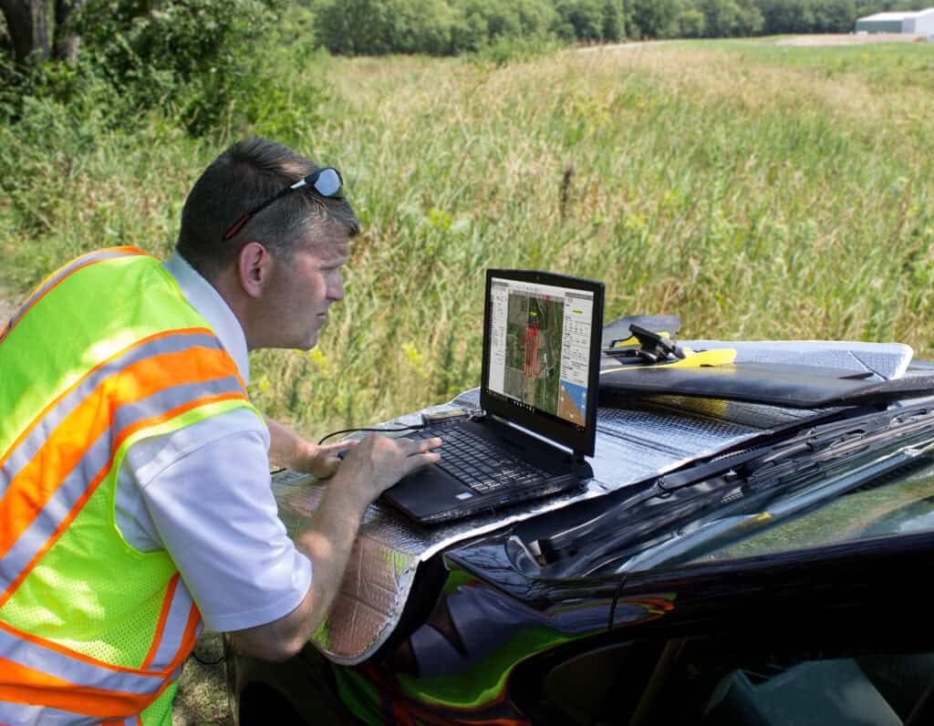
While the benefits are significant, drones also require careful implementation. FAA drone pilot licensing, safety protocols, and privacy concerns must be addressed. That’s why many municipalities turn to engineering partners with certified operators and the expertise to manage both technology and compliance.
By working with the right team, you avoid costly trial and error and gain immediate access to proven workflows that deliver reliable results.
The Bottom Line for Communities
Drones are not a passing trend—they’re a practical, proven solution that helps municipalities stretch their budgets further, and serve residents more effectively. From environmental GIS analysis and infrastructure inspections to aerial surveying services and construction progress monitoring, this technology equips city leaders with better data to make confident, informed decisions.
Partnering with an engineering firm that combines drone expertise with deep municipal experience ensures your community gains the full value of this technology—safely, legally, and effectively.
Drones are integrated platforms delivering high-accuracy data, predictive insights, and cost-efficient workflows across the infrastructure lifecycle, making them indispensable for municipalities balancing safety, compliance, and budgets.
Transform Data into Action with Geospatial Solutions
Drone technology is reshaping how municipalities manage infrastructure, land use, and environmental assets. With advanced sUAS platforms, remote sensing services, and geospatial data integration, local governments can achieve faster project timelines, safer inspections, and more informed decision-making.
At HR Green, our geospatial services team delivers high-accuracy aerial surveying, environmental GIS analysis, and asset management solutions tailored to municipal needs.
Ready to unlock the full value of drone technology for your community?
Contact HR Green today to learn how our drone mapping and geospatial services can support your next municipal project.